Static Profiles
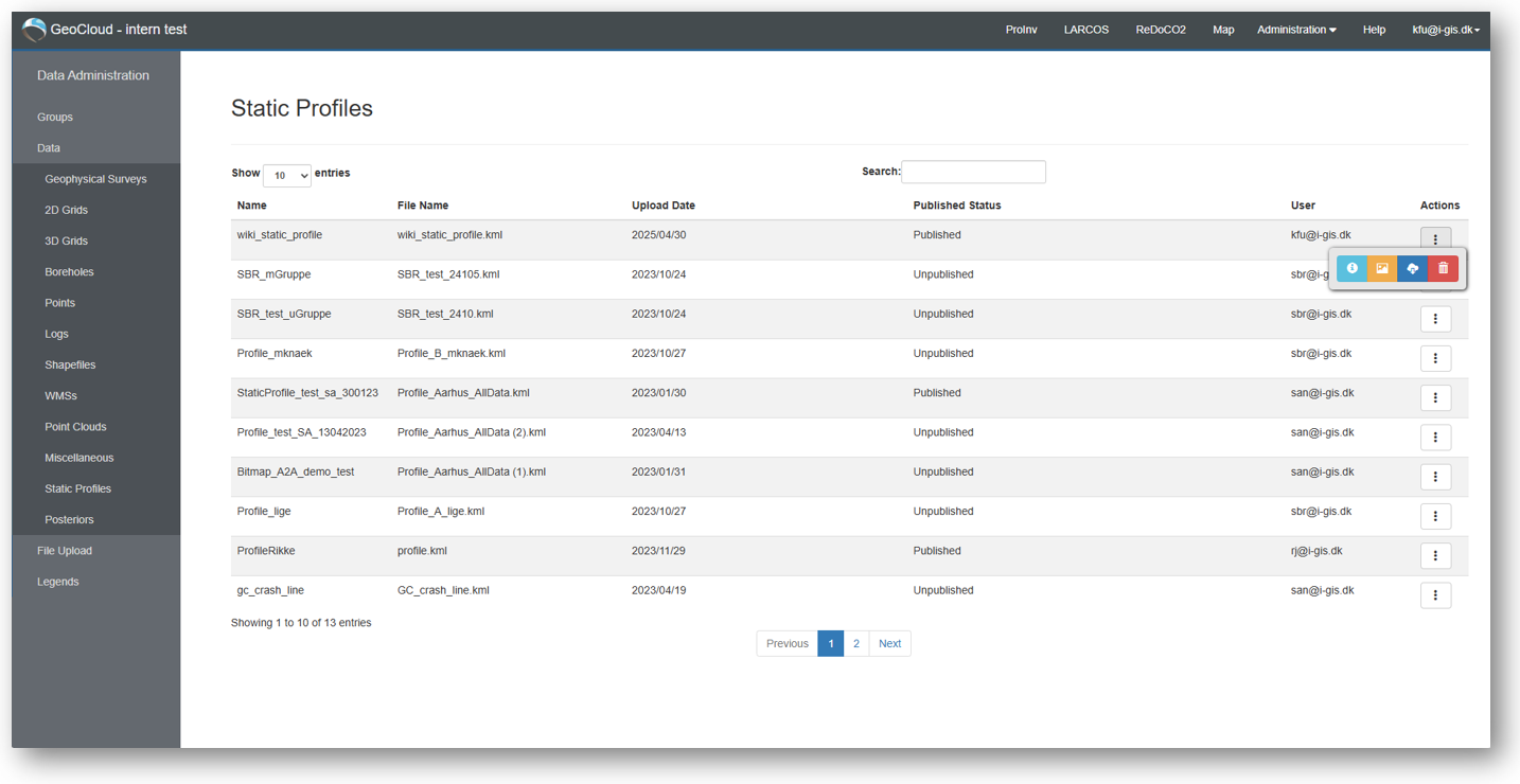
Static profiles are permanent profiles, that you can add to your map. They are of the file types .kml or .kmz. They can be accessed through the profile menu on the map, and you can add image files to them to show e.g. seismics.
The user interface for these data has a filtering option and number of entries is available, and the users can download and/or delete data, depending on assigned access levels.
Static Profile Information
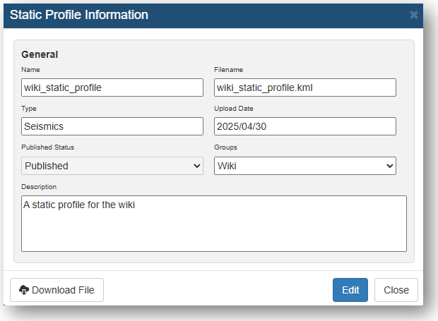
When opening the static profile information, it will look something like below.
From the static profile information table you can edit 'Name', 'Type', 'Published Status', and 'Description'.
Upload static profiles
When uploading static profiles, drag and drop the file to the 'Upload Window'.
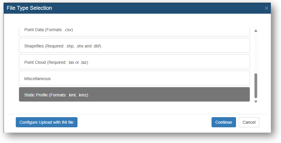
Select the right data type.
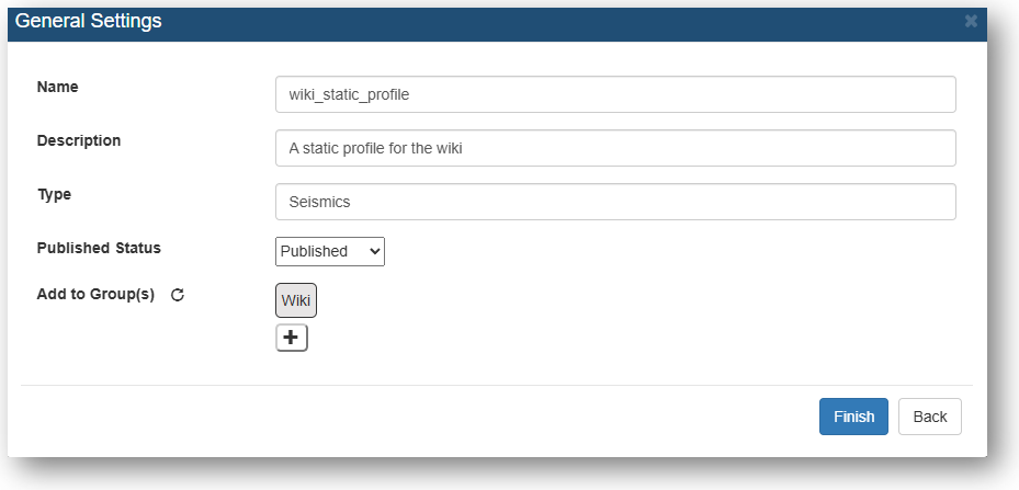
Give the file a 'Name', 'Description', 'Type', and 'Published Status'. Select whether the file should be added to a group(optional).
Click 'Finish'.
After pressing finish and the status for your file turns green and reads 'Success' your file is uploaded to the GeoCloud Portal.
Add image file to static profile
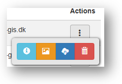
To add an image file to your profile go to the data page for static profiles, go to 'Actions' for your profile and click on the orange icon.
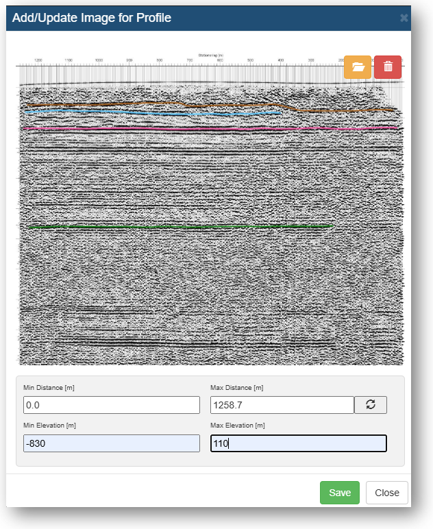
Drag your image file onto the window and update the 'Distance' and 'Elevation' fields as needed. Click 'Save'.
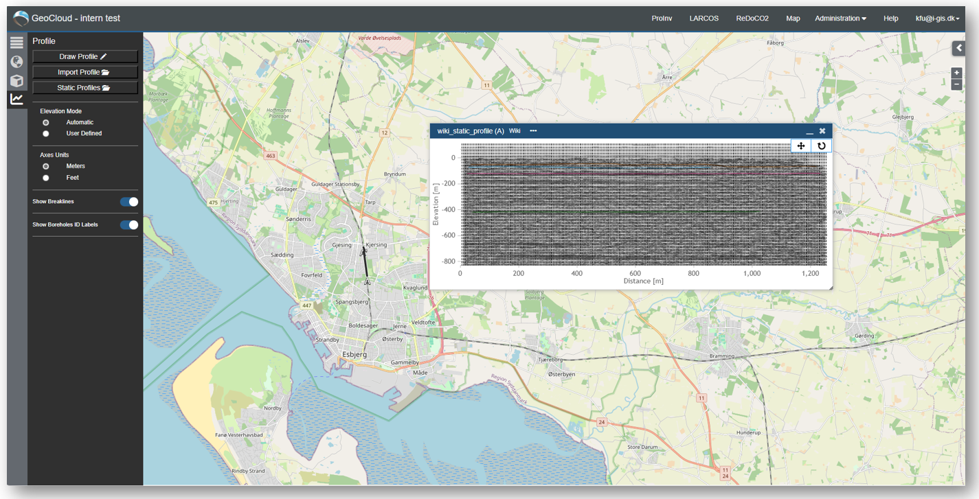
When the profile is uploaded you can see it in the map view by going to the profile menu and selecting 'Static Profiles'.

