Misc Data
Miscellaneous Data works like all other data, but can not be shown at the map, the profiles nor the 3D Window. The Miscellaneous Data can be (almost) any file types.
The user interface for these data has a filtering option and number of entries is available, and the users can download and/or delete data, depending on assigned access levels.
Miscellaneous Data Information
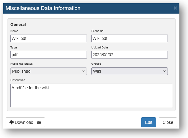
When opening the Miscellaneous Data Information, it will look something like below.
Here you can edit 'Name', 'Type', 'Published Status', and 'Description'.

Upload Miscellaneous Data
When uploading Miscellaneous Data, drag and drop the file to the 'Upload Window'.
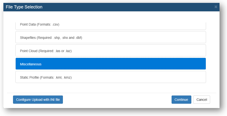
Select the right data type.

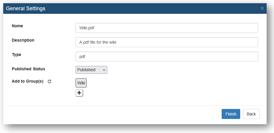
Give the file a 'Name', 'Description' and 'Type'. Select the 'Published Status' and whether it should be added to a group(optional).
Click 'Finish'. When the status for your file turns green and reads 'Succes' your file is uploaded to the GeoCloud Portal.


